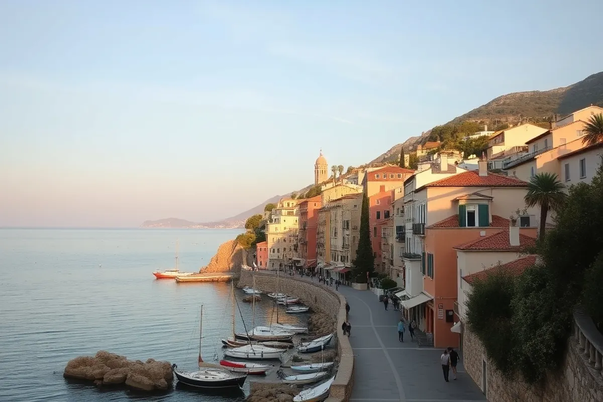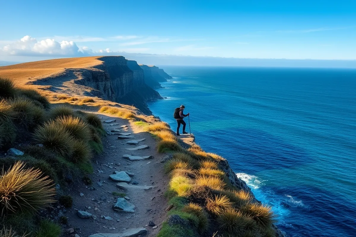
A coastal walk looks simple on a map: a line along the edge of the land. In practice, the sea sets the schedule. Tides cut off headlands, waves make a rocky section impassable and the weather changes faster than an inland forecast suggests. The three-day routes I have enjoyed most were planned around those constraints, not against them.
The route and the tide
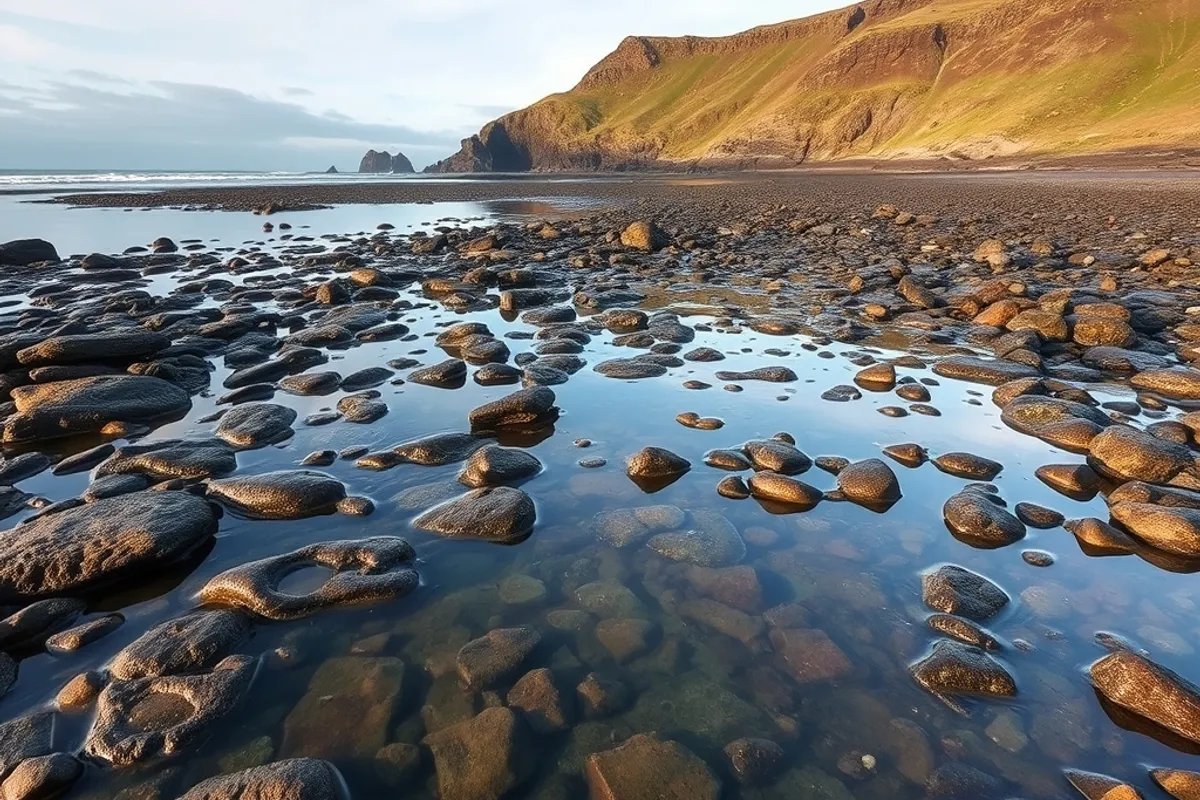
The first thing I check is the tide table, not the distance. Some coastal paths cross a beach or a spit that is only passable within a few hours of low water. Others have a cliff section that becomes dangerous in an onshore wind. The tide can turn a 15-kilometre day into a 20-kilometre detour, so the plan has to fit the water.
I mark the tidal sections on the map and write the windows in the itinerary. Then I add a margin: if the window is four hours, I plan to be through in two. A late start, a slow lunch or a wrong turn should not turn into a wait on a rock. The local coastguard or harbour office is a better source than a generic app for the exact state of the path.
Daily distance and terrain
Coastal terrain is slower than the distance suggests. Sand, shingle, mud and rock all take more energy than a forest trail, and a cliff path with 200 metres of up-and-down per day is a real climb. I plan 12 to 18 kilometres a day with a pack, less if the route is mostly soft sand. The third day should be shorter, because that is when the legs and the weather have had time to argue.
I walk the route in my head before I book anything: where the climbs are, where the exposure is, where the village is. A day with one big climb and a long exposed ridge is different from a flat day on a beach. The plan should match the terrain, not a round number on a spreadsheet.
- 12 to 15 kilometres a day for a first coastal trip with a pack.
- Less on sand, shingle or repeated cliff climbs.
- Keep the last day short and the exit easy.
- Add a rest day if the route is more than three days.
Weather windows
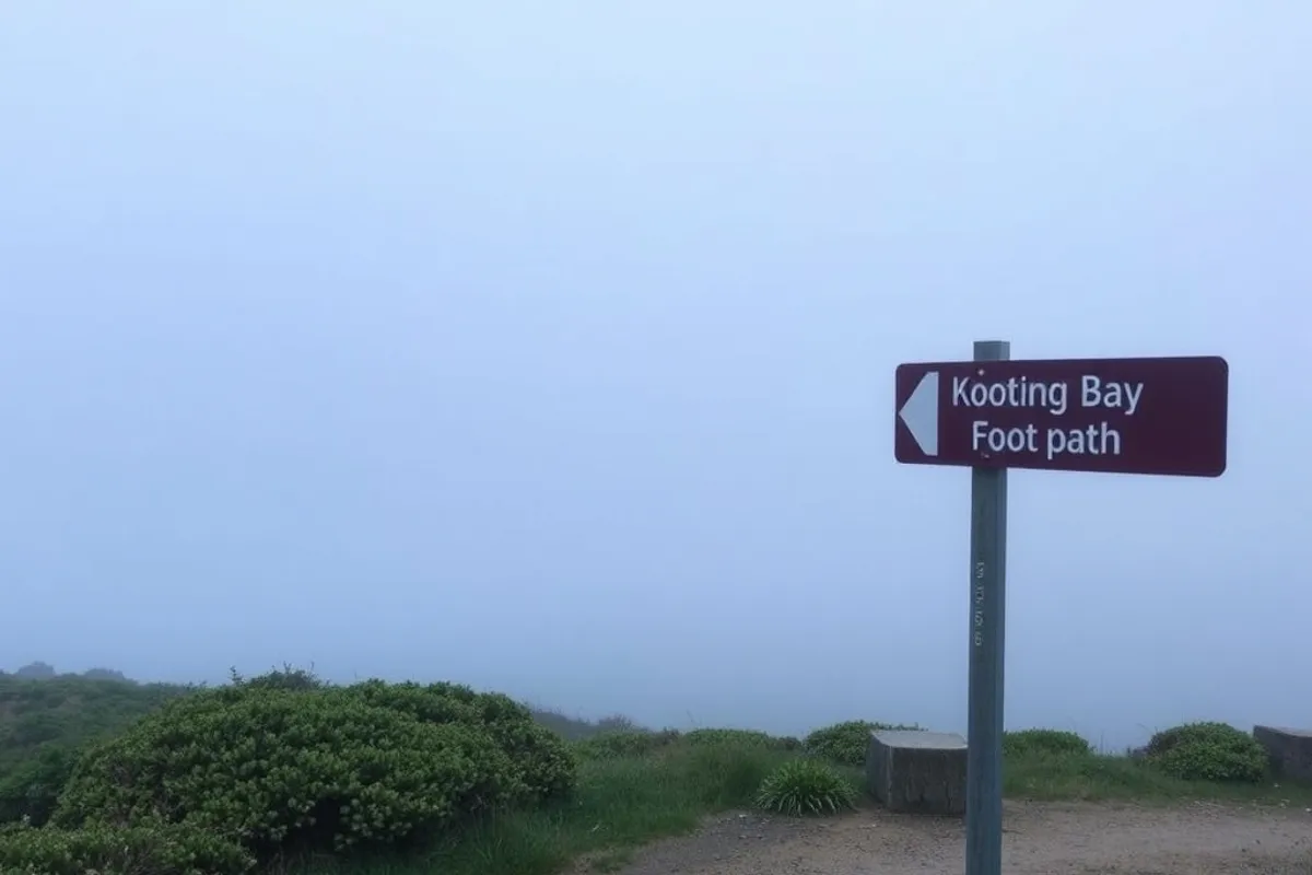
The coast has its own weather. A calm inland forecast can mean a stiff headwind on the cliff, and a clear morning can turn into sea fog by noon. I check the marine forecast as well as the land forecast, and I plan the exposed sections for the morning when the wind is usually lighter.
Rain is manageable with the right shell; wind is the thing that stops a walk. If the forecast is for gusts above the level the path can handle, I take the inland alternative or wait. A day lost to weather is cheaper than a rescue. The local rescue service publishes advice for a reason, and the Red Cross first-aid guidance is worth reading before a remote section.
Permits, camps and water
Some coastal routes cross private land, nature reserves or military ranges. The access rules can change by season, and a gate that is open in summer may be locked in winter. I check the official trail site for closures and permits, then print the relevant page. A phone screenshot is not enough when the signal drops.
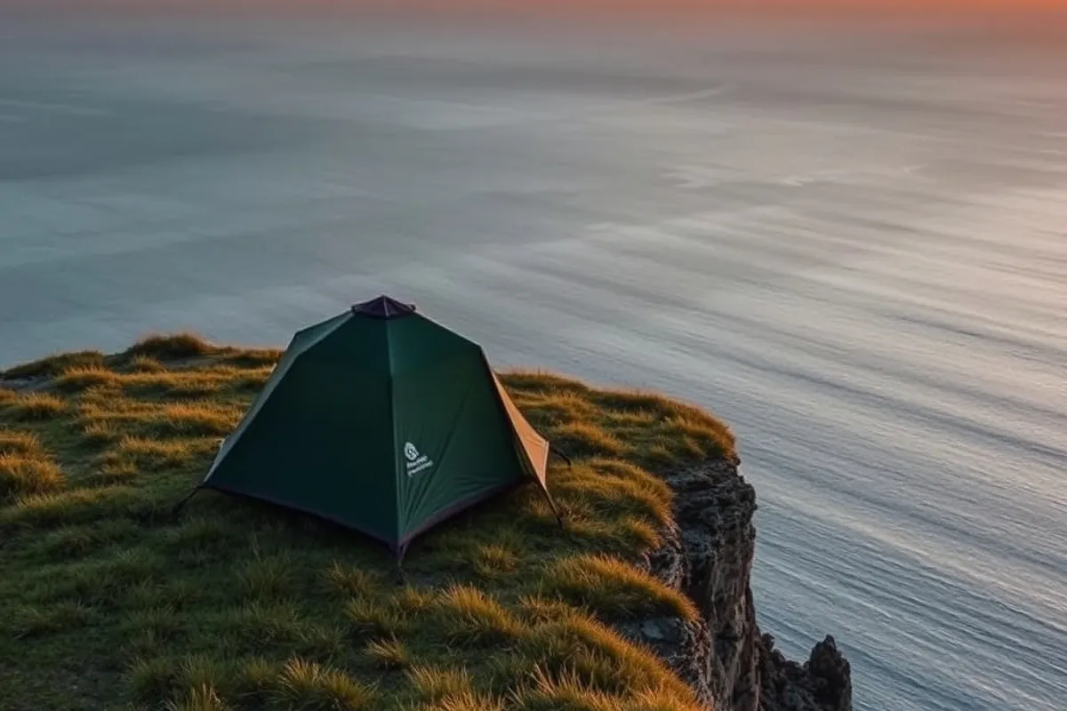
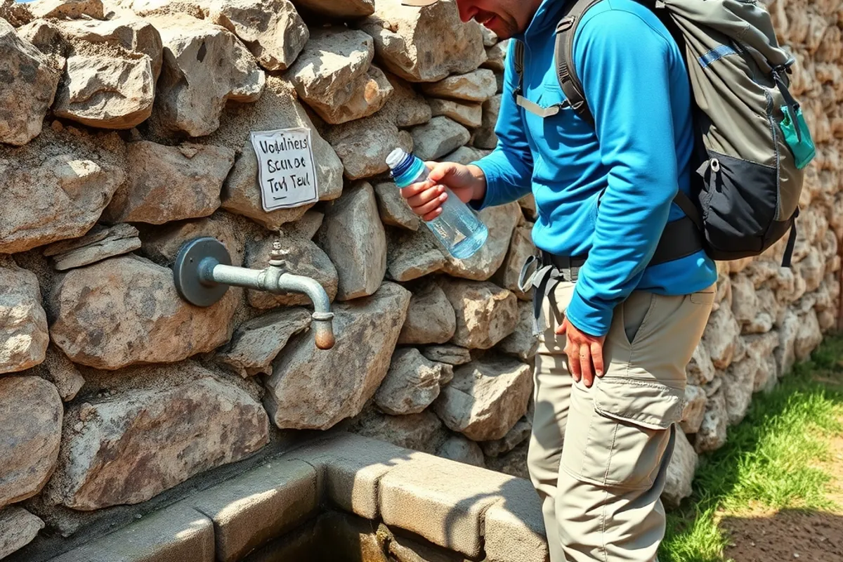
Camping is the other constraint. Wild camping is banned or restricted on many coastlines, and the official campsites can be booked out in summer. I book the campsite before I book the train, because a route with nowhere to sleep is not a route. Water is the third constraint: coastal streams can be brackish or dry, and village taps are not always available out of season.
On the coast, the tide is the timetable and the weather is the boss. The route is what happens between them.
What to carry
A three-day coastal pack should be light enough to walk 15 kilometres without misery. I take a waterproof shell, a warm mid-layer, a sun hat, a headlamp, a paper map, a compass, a basic first-aid kit, a power bank and a water filter or tablets. The sleeping kit depends on whether I am camping or using hostels; a three-season bag and a light mat cover most summer nights.
Footwear is the decision that matters most. Trail shoes are fine for dry paths and sand; boots give more support on rocky sections and mud. I take a spare pair of socks and treat blisters early. The pack should be under 12 kilograms for a three-day trip, and the heaviest item should be water if the route is dry.
Food and resupply
I plan food around the villages, not the other way around. A pub lunch, a bakery and a small shop can cover most of the trip, with a backup meal for the night the kitchen is closed. The backup should not need cooking: nuts, cheese, bread, a tin of fish and a chocolate bar are enough for one dinner and one breakfast.
Water is heavier than food and more important. I carry two litres for a normal day and more for a dry section, plus a filter for refills. Alcohol and caffeine are not hydration. A coastal walk in the sun can dehydrate you faster than you notice, especially with a sea breeze that makes the heat feel milder than it is.
Bail-outs and safety
Every day needs an exit. A road, a bus stop, a farm track or a village is a bail-out point, and I mark them on the map. If the weather turns, the path is flooded or someone is injured, the exit is the plan. I tell someone at home the route, the overnight stops and the expected check-in times, and I keep the local emergency number offline.
A personal locator beacon is not necessary for a popular coastal path, but a charged phone in a waterproof bag is. I also carry a whistle and a small torch, because the simplest tools work when the battery does not. The aim is to finish the walk, not to prove that you can handle a bad situation.
When to walk it
Late spring and early autumn are the best windows for most coastal routes: the paths are quieter, the weather is still walkable and the campsites are open. Midsummer brings the best light but also the crowds and the heat. Winter can be beautiful and empty, but the days are short, the facilities are closed and the weather is less forgiving.
I choose the week by the tide and the opening dates, not by the cheapest train. A route that is half closed is not a bargain. If the trip is a day rather than three days, our day trip guide covers the shorter version. For a road-based trip along the same coast, the scenic drive guide covers the planning that a car needs.